
Trace a Peabody Street Directory
A by-address search works best as a chain. First locate the mapped parcel, then separate the owner field from the people who may have been reported at that location. The owner’s name becomes the bridge to the recorded-land index. Documents in that index can point to an earlier seller, a plan, a legal description, or a book and page. Historical street directories and city records add a household layer, but they should be read for their own dates rather than treated as a current roster. The Massachusetts voter status tool is for the individual voter with the required personal information, not a public way to search a street.
- Enter the address in Peabody MapGeo or locate it on the parcel map. Record the mapped situs, owner attribute, owner mailing field, and map/parcel ID.
- Use the situs address in the Essex South Registry address search. Enter the street name without its suffix, set a date range, and select Peabody when that helps narrow the result.
- Open the indexed deed and note the grantor, grantee, document type, date, and book/page or document number. Those details make the next historical search repeatable.
- Ask the Peabody City Clerk about the specific existing annual street-list record needed for a January 1 address question. Confidential voters and protected information are withheld.
- For an earlier household, consult the Peabody Institute Library’s address-arranged house or street volumes and compare the result with the deed trail.
Note: Ownership, a tax mailing address, and a reported household entry are separate facts that should not be treated as proof of present occupancy.
Peabody Parcel Start by Street
MapGeo is the public starting point for a Peabody by-address search because it joins the street address to the assessor parcel. Its visible controls include Property Quick Search, Zoom To, Share, and Print. Clicking or locating a parcel supplies the map context that a name search lacks. The supporting ArcGIS layer identifies the public parcel attributes as owner, mailing address, mailing city, mailing ZIP, map/parcel ID, and polygon geometry. MapGeo reports parcel and FY2026 property data updated in January 2026, while the ArcGIS layer records a separate attribute edit date. Both sources caution against treating display data as a final decision record.
The Peabody MapGeo parcel viewer shows the public Quick Search and city disclaimer used for the parcel-first step.
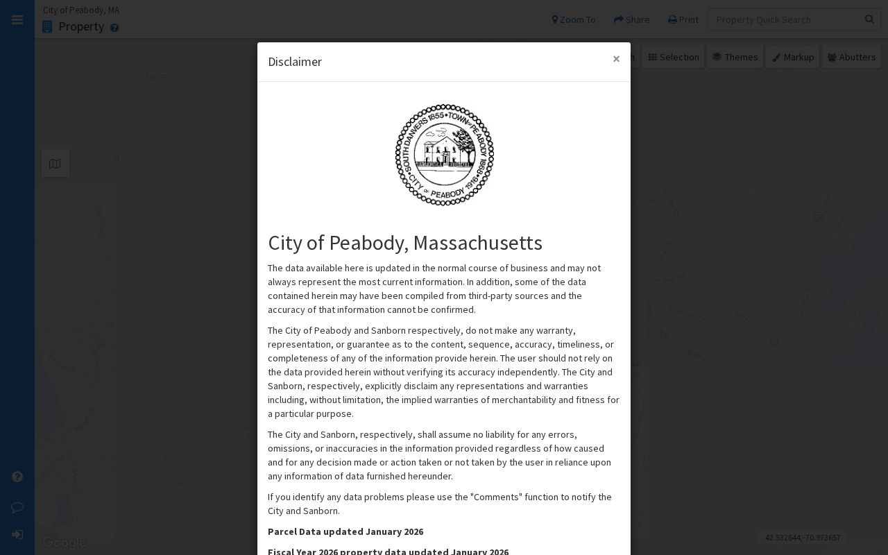
The viewer is most useful for anchoring a search to the physical parcel before comparing owner and deed information. It does not supply a roster of renters or household members.
Use the parcel’s mapped location as the situs address. The owner mailing address may be in Peabody, elsewhere in Massachusetts, another state, or at a business address. It is a tax-correspondence clue about the owner, not evidence that the owner lives at the parcel.
Peabody Parcel Field Labels
The Peabody ArcGIS parcel layer documents the fields behind the parcel view. A field label is not a finding by itself. Read OWNER as the assessor’s owner attribute and OWN_ADDR as the mailing address field. When a search turns up several close parcels, MAP_PAR_ID and the polygon geometry help keep them apart. The layer’s 2,000-record maximum also means a broad query should be narrowed rather than assumed to list everything.
| Interface or field | Use in an address search | Known limit |
|---|---|---|
| MapGeo Property Quick Search | Find a parcel from the visible viewer. | Exact text-search fields were not documented in the inspected viewer. |
| OWNER / OWNER1 | Identify the assessor owner attribute. | It does not establish residency. |
| OWN_ADDR / ADDRESS | Read the owner mailing address. | It is not necessarily the parcel situs. |
| OWN_CITY and OWN_ZIP | Distinguish the mailing location. | They describe mailing, not parcel geography. |
| MAP_PAR_ID and geometry | Match the parcel to the map and later records. | They do not name household members. |
The ArcGIS parcel-layer record displays the owner, mailing, ZIP, map/parcel, and geometry fields available for Peabody parcels.
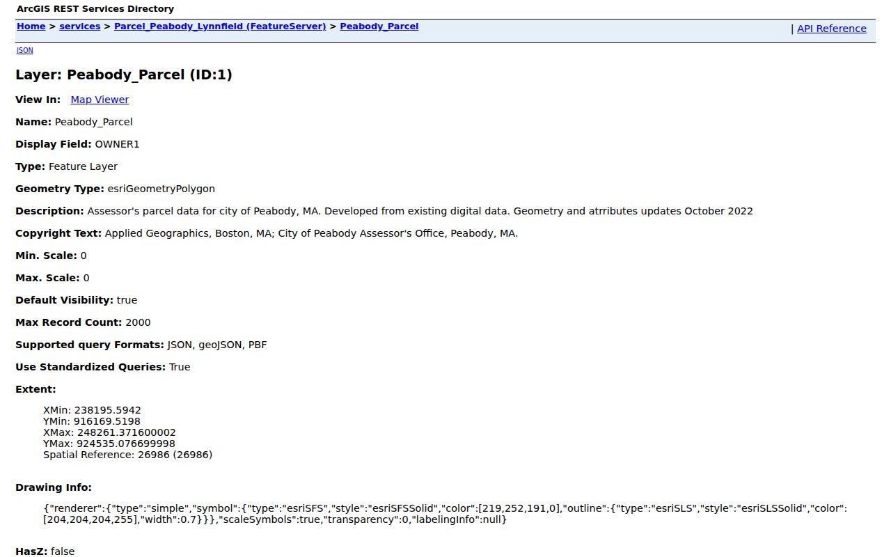
These documented labels support a careful street-by-street comparison without promising unverified property-card details such as building size, value, or construction date.
Peabody Deed Search by Address
The Essex South Registry’s current recorded-land tools offer Name, Address, Date/Doc Type, and Book & Page modes. In address mode, Street Name, Date from, and Through date are the visible required fields. Street Number, town, and document type further focus a result. Registry instructions say to enter the street name without Ln, Ave, Dr, or St and to use the primary number for a range. An address result is an index path to property documents, not a list of people on the street.
The Registry’s classic recorded-land search illustrates the recorded/registered land distinction, index-book periods, and the narrower street-search instructions.
Use the result details to move from an address to a document, then from a grantee back to a prior grantor. Document images can be viewed or downloaded through the registry, though the download area presents payment options and no exact per-image charge was verified during the research.
Peabody Registry Index Books
The classic street shortcut begins in 1995 and covers Deeds and Conveyance documents only. That is helpful for a recent address check, but it is not the full historical pathway. The Registry reports recorded-land images from 1640 to the present, with electronic indexing strongest from 1951 forward. For records before 1979, the Registry warns that electronic indexes may be incomplete or absent. Its image-index groups cover 1640-1799, 1800-1854, 1855-1950, 1951-1963, and 1964-1978.
When the search jump lands near a surname instead of on it, inspect the previous and next index-book pages. For an old Peabody street, the chain may be filed under an owner, a farm, a lot, or a legal description rather than the current house number. Plans and atlases add another route because the Registry’s plan indexes and images reach from 1741 to the present.
Note: A record classified as Registered Land has a separate certificate and document-number chain, so do not rely only on recorded-land book and page results.
Peabody Annual Street Lists
Peabody’s annual street listing is a city record with a different purpose from a parcel or deed. The 2025 form says Massachusetts law requires a listing of residents as of January 1 and asks recipients to add, delete, or correct information. It visibly includes address-linked resident fields, ward and precinct information, and movement or death indicators. The form directs people to return it within ten days, even when no change is needed. It is not a voter-registration application.
The form instructs that all people living at the address be listed and carries a full date-of-birth field, while phone information is described as for in-house use only. It also says that a failure to respond can affect active-list status. Those form directions explain why the annual record can be historically useful, but they do not make every field open for unrestricted publication or bypass the protections for confidential voters.
The central voter registry is not a general public name-and-address source under M.G.L. c. 51, §47C. The state’s voter registration status tool requires first name, last name, full date of birth, residential ZIP, and an individual-use acknowledgement. For an existing local street-list record, contact the Peabody City Clerk rather than expecting an open statewide street search. Confidential voters are excluded from the public street list or annual register.
Peabody Street Name History
Older address research needs a municipal-name check before assuming a number changed. South Danvers separated from Danvers and incorporated in 1855, adopted the Peabody name in 1868, and became a city in 1916. Earlier material may be indexed under Salem-related jurisdictions. Search variants such as Salem, Danvers, South Danvers, and Peabody can therefore be more useful than guessing that a street was renumbered.
No verified citywide street-renumbering schedule, renamed-street schedule, or annexation map was found in the research. Compare historic maps, directories, Registry plans, and City Engineering or Assessor records before asserting that an old address maps directly to a current number. The current address route should move to a legal description, lot, plan, or abutting owner when the modern address fails.
Peabody Permit Clues by Address
City permit material can add context to a known parcel, but the inspected public screen is not an address-wide search. The Peabody Permit Portal’s Check Permit Status tool requires a permit number. Its result labels include location, status, permit type, permit sub type, cost, tentative start date, transaction date, and transaction amounts. Use it when a permit number is already known.
For a specific project, City Council special-permit records can include an applicant, owner signature, property address, plans, and an assessor-certified abutter list. Request the address-specific packet from the City Clerk under the Massachusetts Public Records Law, M.G.L. c. 66, §10. Exemptions and redactions may limit what is released. A permit record documents an application or project, not who lives at a location.
Peabody Street Directory Records
Each record type answers a narrow question. The parcel view establishes the mapped property and owner field. Registry documents establish recorded transfers and legal descriptions. Library directories may place a named household at an address in a particular year. City records can be requested for a defined record, subject to public-records limits. Keeping the columns separate avoids treating a single hit as a complete address record.
| Address-keyed source | Custodian | What it can show | Access channel |
|---|---|---|---|
| MapGeo and parcel layer | Peabody Assessor | Owner, owner mailing fields, map/parcel ID, polygon | Public viewer and ArcGIS layer, then assessor verification |
| Recorded deed | Essex South Registry | Grantor, grantee, transfer, legal description, book/page | Online index and image, counter, or older index books |
| Registered land | Essex South Registry and Land Court | Certificate, owner, document number, and plan | Registered-land search or counter |
| Plan or atlas | Registry, library, or Historical Society | Lot lines, subdivisions, street context, legal description | Plan search, archive, or library |
| Annual street list | Peabody City Clerk | January 1 reported residents, subject to protections | Request or inspection of an existing record |
| Historical address directory | Peabody Institute Library and State Library | Historic address-to-occupant or name-to-address entries | Microfilm, Sutton Room, and selected collections |
| Known permit record | Inspectional Services | Permit status and address-related project data | Known-number portal check or records request |
For historical occupants, the Peabody Institute Library’s street directories run from 1859 to the present on its stated holdings, though an individual volume’s arrangement and any gaps should be checked with library staff. The library does not identify every publisher or guarantee every annual issue, so read the catalog or title page before describing a volume as a complete run. The historical volumes are described in more depth through the Peabody city directory collections.
Limits of Peabody Street Searches
An address search cannot prove that a renter or another household member is present. Parcel data does not provide household membership, and an owner mailing address may point away from the property. A deed records ownership or an encumbrance, not occupancy. Public tools do not expose RMV address data, utility customer lists, or delivery records for this purpose. The individual voter status tool is not a live occupancy indicator and cannot be used as a public street browse.
When records conflict, keep the source and date with each note, then verify the issue with the City Clerk, Assessor, Registry, or library that holds the record. Protected addresses, confidential voter information, sealed material, and legally exempt records remain outside a street-level search.