
Peabody Neighbors Block Sources
Public sources describe parts of a Peabody block, not a complete list of the people who live there. The parcel map identifies property boundaries and assessor owner fields. The Registry can place a recorded document in a parcel's history. A city street list can be an existing municipal record with privacy limits. Community resources can point to a public contact route or historical context. Keep the source and its limit together when researching Peabody neighbors, especially on blocks with multiple lots or shared buildings.
| Source | What It Shows About a Block | Access |
|---|---|---|
| MapGeo and ArcGIS parcels | Adjacent parcel polygons, assessor owner, mailing city and ZIP, map or parcel ID | Public viewer and layer, then verify with the assessor |
| Essex South Registry | Recorded owner sequence, deeds, plans, lot lines, and easement context | Public index and counter; image access can differ |
| Peabody annual street list | People reported at an address on January 1, subject to legal withholding | City Clerk request or inspection |
| Individual voter-status tool | Status for the individual voter using name, date of birth, and ZIP | Personal use only, not a block search |
| Permit or special-permit record | Public project information, including abutters where a record is public | Known-number portal or City Clerk request |
| Police and history repositories | Community contact routes and historic group context | Official community page, library, or archives |
An owner field is not the same as an occupant list. The ArcGIS layer separates the mapped property from the owner's tax mailing fields, and the owner may receive mail elsewhere. A deed also documents an ownership transfer or recorded claim, not who occupies the address. Those distinctions keep a Peabody neighbors search from turning a parcel record into an unsupported claim about a household.
Peabody Neighbor Parcel Clues
Peabody MapGeo provides a map-based Property Quick Search, map navigation, sharing, printing, and parcel-click behavior. Its supporting public ArcGIS layer is named Peabody_Parcel and uses OWNER1 as the display field. The available attributes include OWNER or OWNER1, ADDRESS or OWN_ADDR, CITY or OWN_CITY, ZIP_CODE or OWN_ZIP, MAP_PAR_ID, geometry, and system identifiers. The map polygon is the situs, meaning the property’s physical location. The OWN_ADDR field is the owner's mailing address, so it can be useful for following a tax correspondence trail but cannot establish where that owner lives.
This mailing-versus-situs distinction is the key local interpretive point for Peabody neighbors. A nearby parcel can have an owner mail address in another city, another state, or at a business address. It still remains a parcel beside the mapped property. Record both the situs address and the map or parcel ID before moving to the Registry, because a name alone can produce too many unrelated results. The public layer does not supply a list of every person connected to a parcel.
Note: MapGeo reports FY2026 property data updated in January 2026, but the city disclaimer still calls for custodian verification before reliance.
Map a Peabody Neighbor Block
For the immediate area around one address, work outward parcel by parcel rather than trying to search an entire neighborhood by name. The research confirms map zoom and pan, parcel polygons, Quick Search, and click-to-identify behavior. It did not verify a buffer, radius, or measure control, so no neighbor method should assume one exists. On a complex parcel layout, use visible polygon boundaries and the map or parcel identifier to keep each record separate.
- Find the starting Peabody address in MapGeo and record the mapped situs address and MAP_PAR_ID.
- Click or inspect each adjoining visible parcel, recording its address, owner field, tax mailing city and ZIP, and parcel identifier.
- Use the Essex South Registry name search or plan search to check a public document for the same parcel or owner sequence.
- Keep condominium or multi-lot polygons separate. Do not merge them into one household based only on location.
- When the question becomes a longer address chain, use the Peabody street directory for the fuller by-street record trail.
The practical flow is address to parcel polygon to map or parcel ID to assessor owner field to deed or plan context. It produces a document trail for a Peabody block without treating nearby ownership as a roster of neighbors.
Peabody Neighbor Plans
Parcel boundaries explain why a block should be read as a group of records, not a row of street numbers. The Registry's plans and atlases can reveal lot lines, subdivision context, shared driveways, easements, and legal descriptions. For a recorded-land address search, enter the street number and street name, select Peabody as the town, and use a date range and document type when those filters help. The Registry's shortcut street search begins in 1995 and covers deeds and conveyance documents only, so it is not a complete historic record trail.
When an address search does not find an older document, search the current owner as the grantee, or buyer, then use the seller as the next historical grantee. A plan, lot description, subdivision, or abutting-owner clue can overcome an old record that lacks a modern street number. The Registry's index-book images cover several historical groups from 1640 through 1979, while electronic coverage before 1979 can be incomplete. That broader record method belongs to a parcel history, not to a claim about everyone who lives on the block.
Peabody Neighbor Voter Limits
Massachusetts central voter names and addresses are not public records under M.G.L. c. 51, §47C. The Secretary of the Commonwealth's public form is for an individual voter to check status. It requires first and last name, full date of birth, residential ZIP, and an individual-use acknowledgement. It cannot search a block or return a list of Peabody neighbors. The state advises a recently moved voter to try a former ZIP, and a new voter may not appear for two to three weeks.
Peabody's annual street list is a different city record. It may be requested or inspected as an existing record, but confidential voters and protected information are withheld. A city request should ask for the specific existing register or street-list record, not demand a newly created roster. The City Clerk is the proper local fallback when the personal tool fails for the voter who is checking their own status.
Note: A voter-status result is neither a live occupancy record nor a lawful route to search a whole Peabody block.
Peabody Neighbor Crime Watch
Neighborhood Crime Watch is a public community contact channel, not a member directory. Peabody Police describes the program as groups of residents working with police to deter crime and address local problems. Any resident can join or organize a group within a local community. The Community Outreach Center at Northshore Mall connects police and residents. Research did not locate an official citywide inventory of named neighborhood groups or a published household roster, so it is important not to invent either one.
Peabody Police community-policing information provides the official route for Neighborhood Crime Watch and community outreach.
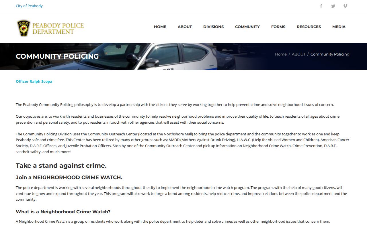
For Peabody neighbors who want a community connection, use this official contact path rather than treating a parcel or public record as permission to reach out to someone.
Peabody Neighbor Community Sources
When a block question is historical or civic rather than personal, Peabody's local repositories are stronger than a commercial neighbor list. The Sutton Room holds local archives, maps, newspapers, city records, street directories, church papers, school registers, poll-tax records, voter lists, and military material. The Historical Society's Ruth Hill Library and Archives holds published and unpublished material on vital records, directories, maps, cemeteries, churches, clubs, schools, government, and photographs. Peabody Community House records from 1915-2003 and local church and school collections can help identify a past institution or neighborhood context.
| Peabody resource | Public path | Useful block context |
|---|---|---|
| Sutton Room | Library local-history collection, catalog, appointment, and microfilm resources | Street directories, local maps, newspapers, civic records, and historical voter material |
| Peabody Historical Society | Ruth Hill Library and Archives collection path | Clubs, churches, schools, cemeteries, images, maps, and municipal history |
| Neighborhood Crime Watch | Police community-outreach contact route | Current community-safety participation, not a membership list |
These sources can show that a group, institution, or historic place belonged to a Peabody area. They should not be used to reconstruct a present private household from membership, school, or church material.
Peabody Neighbor Source Comparison
Official records and commercial neighbor tools do not serve the same purpose. Official sources identify a custodian, a source date, and a narrow record type. Commercial services may combine public and purchased data, former occupants, and inferred associations. They can confuse parcels, owners, and unrelated people. A result from that category is not a substitute for the Peabody assessor, Registry, map, or City Clerk source that created the underlying record.
| Source category | Best use | Important limit |
|---|---|---|
| Official parcel, Registry, and city records | Verify a parcel, public document, or existing municipal record with the named custodian | Each record shows only its own purpose and may have privacy limits |
| Commercial compiled profiles | A starting suggestion to verify independently, if used at all | Can be stale, mismatched, incomplete, or based on old associations |
| Community outreach and history collections | Find a public contact route or local historical context | They are not present-day household directories |
A block record is strongest when the map polygon, parcel ID, and Registry document agree. If they conflict, pause and ask the Peabody Assessor, City Clerk, or Registry custodian how the record is maintained.
Peabody Neighbor Privacy Limits
Public parcel evidence does not reveal every neighbor. The public parcel layer does not list every person connected to a property. Protected voter and Address Confidentiality Program participants may be absent from street lists or shown through a substitute address. RMV information is restricted, and utility or delivery records are not public block evidence. Court records can also be sealed, expunged, impounded, or otherwise confidential. Do not use a missing result to infer that a person is absent, or a mailing field to infer a person's physical presence.
Massachusetts has record-specific protections rather than a universal statewide deletion portal. If a city record is wrong, contact the City Clerk, Assessor, or Inspectional Services custodian for its correction process. For a request denied under the Massachusetts Public Records Law, ask for the exemption basis in writing and use the Supervisor of Records appeal route under 950 CMR 32.00.
Lawful use. Use Peabody neighbors records for personal, lawful property context, civic questions, or family history. Never use public information to stalk, harass, intimidate, or harm another person.